Delivering mission-critical atmospheric intelligence for enhanced military operational effectiveness and tactical decision-making.
Tactical Meteorological Advantage
NATO’s Joint Meteorological Center has demonstrated that accurate cloud height intelligence directly influences infrared-guided weapons effectiveness, drone swarm penetration path planning, and electronic countermeasure frequency selection.
Drone Operations
Precise cloud height data enables optimal flight path planning to utilize cloud cover for radar evasion
Missile Systems
Detailed cloud layer analysis supports electromagnetic stealth for penetration operations
Night Vision Optimization
Cloud top measurements determine starlight/moonlight reflection intensity for night operations planning
Mobile Deployment
Ruggedized for rapid field setup in tactical environments
Multi-Parameter Intelligence
Provides cloud height, vertical visibility, sky condition across 5 cloud layers, backscatter profiles, and mixing layer height
Proven Military Performance
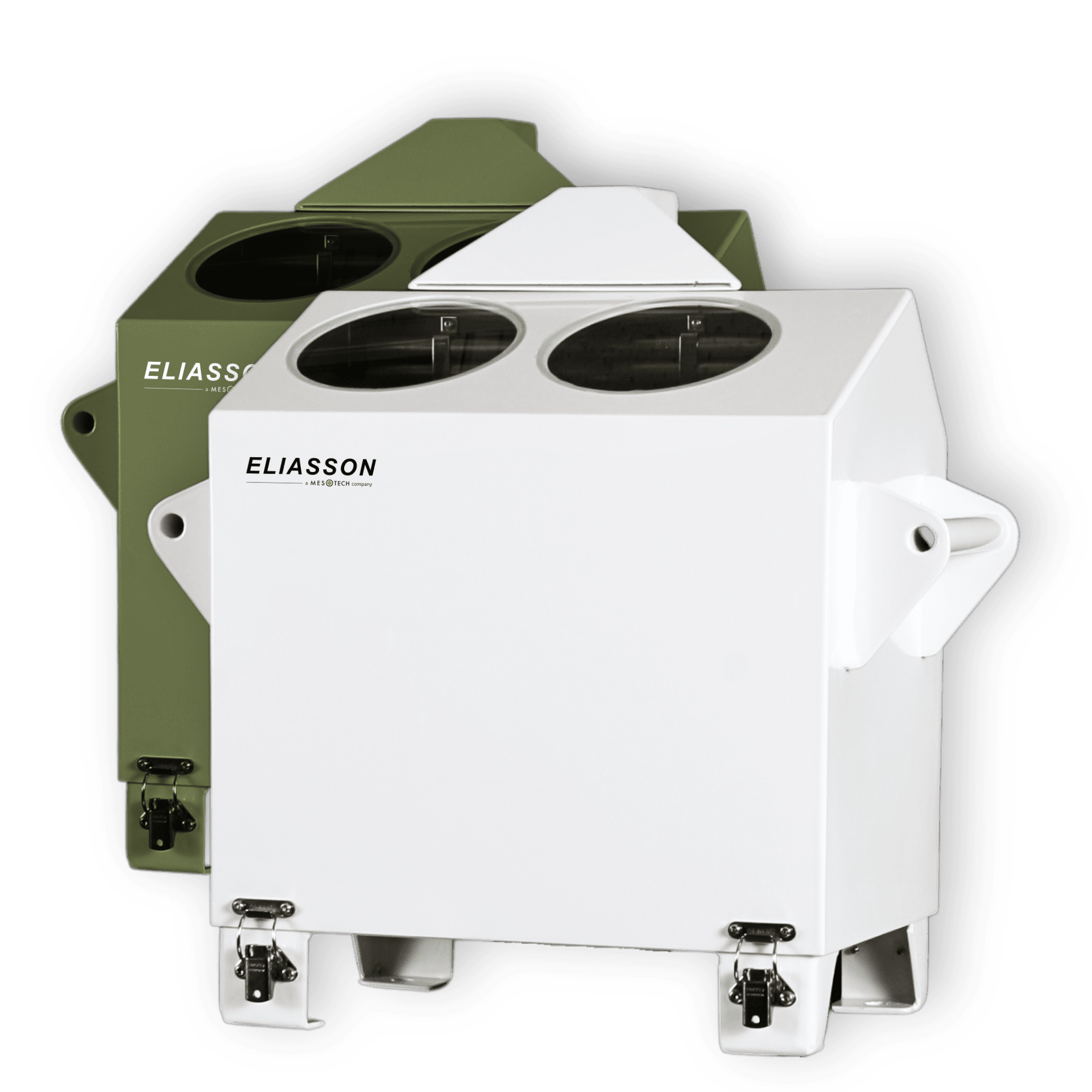
Military organizations worldwide, including the Danish Navy, trust Eliasson ceilometers for their exceptional reliability in demanding operational environments. Their compact design and low power requirements make them ideal for forward operating bases, naval vessels, and mobile command units where space and resources are limited.
Mesotech International offers specialized military configurations with encrypted data transmission, integrated power management for field operations, and rapid deployment kits. These systems can be seamlessly integrated with existing tactical weather networks or supplied as complete turn-key solutions with secure communications protocols.
Trusted by customers in over 30 countries, our cloud ceilometers deliver reliability and precision. See what our clients have to say about our quality and performance.
Lorem ipsum dolor sit amet, consectetur adipiscing elit, sed do eiusmod tempor incididunt ut labore et dolore magna aliqua. Ut enim ad minim veniam, quis nostrud exercitation ullamco laboris nisi ut aliquip ex ea commodo consequat.
Sarah AndersonLorem Ipsum
Lorem ipsum dolor sit amet, consectetur adipiscing elit, sed do eiusmod tempor incididunt ut labore et dolore magna aliqua. Ut enim ad minim veniam, quis nostrud exercitation ullamco laboris nisi ut aliquip ex ea commodo consequat.
James MitchellLorem Ipsum
Lorem ipsum dolor sit amet, consectetur adipiscing elit, sed do eiusmod tempor incididunt ut labore et dolore magna aliqua. Ut enim ad minim veniam, quis nostrud exercitation ullamco laboris nisi ut aliquip ex ea commodo consequat.
Emily RobertsLorem Ipsum
Automated page speed optimizations for fast site performance